October 30, 2014

Mine Made Paradise Adventure ATV, Lebrun, Ky

We rode 38 miles.

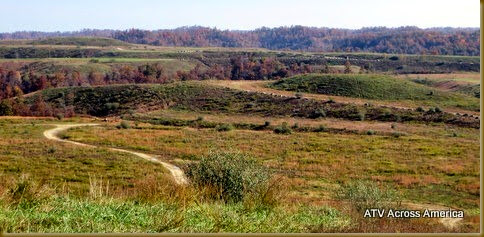
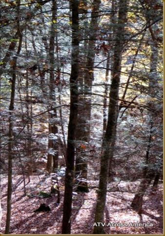
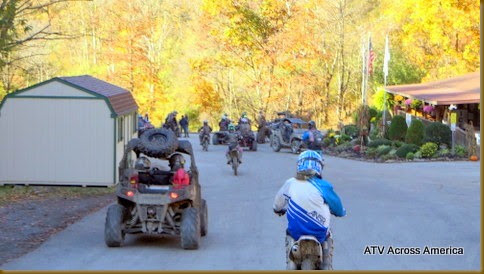
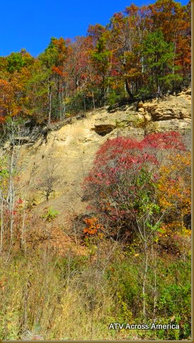
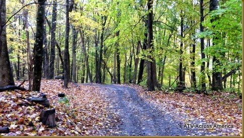
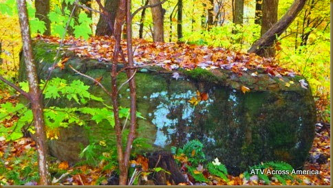
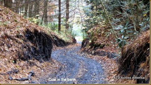
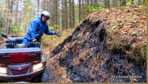
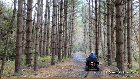
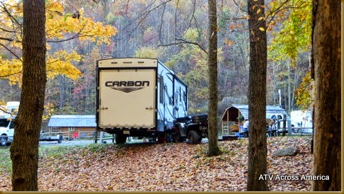
       Mine Made Paradise is an old coal mine mountain top, restored back to grass, roads and forest. We camped at the Mine Made Paradise campground off of county road 1098.(right at the trail head) You will find w/e sites.  The elk usually come into the field  near the campground, but while we were there,  they didn't come to visit.

Mine Made Paradise IMG_3484 IMG_3489
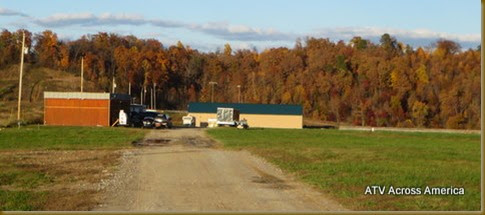
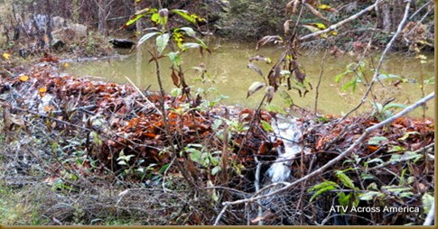
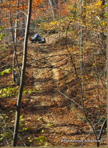
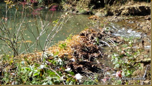
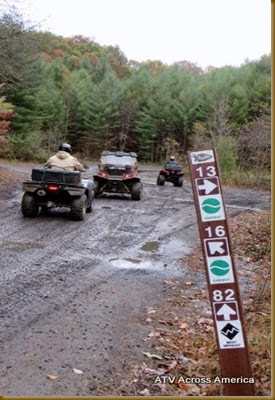
      Kentucky has the same type of trail system as in West Virginia.  The first part of the trail is road riding until you get to the forest.   The trails are marked well, but some of the roads,  are not marked, so they are confused with the ones your looking for. No beavers, but a dam!

IMG_3491IMG_3519 IMG_3510-001

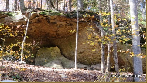
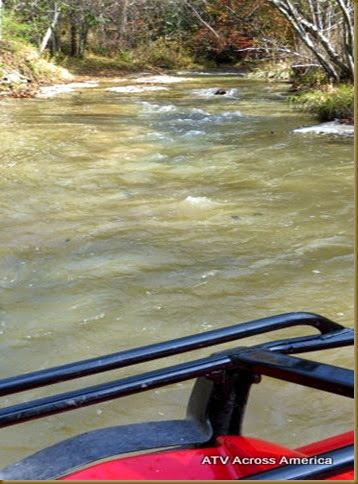
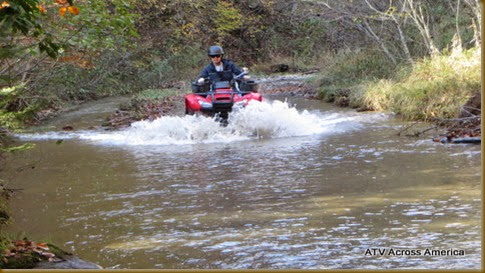
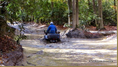
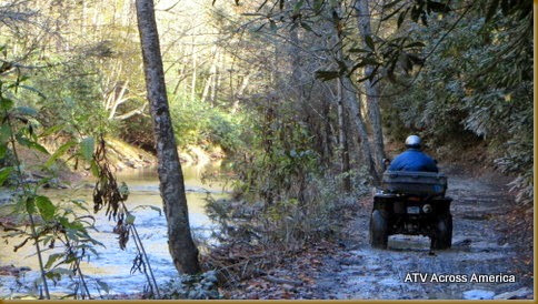
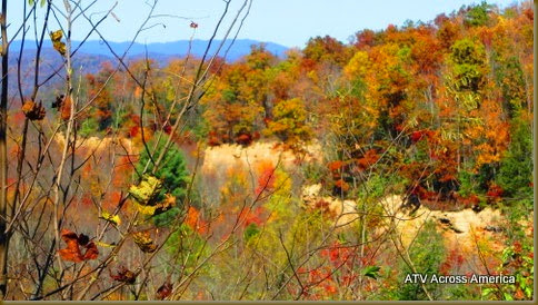
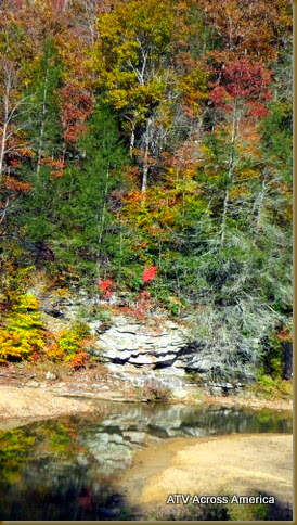
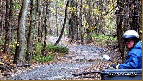
    There are water holes to go thru, but the bottom is hard, therefore it isn't so muddy.   There are numerous creeks and overlooks/ There are about 70 miles of trails, 3 different difficulties.              
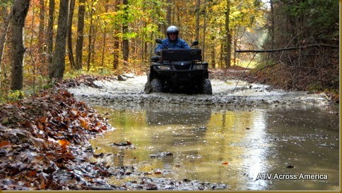
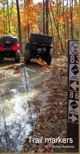
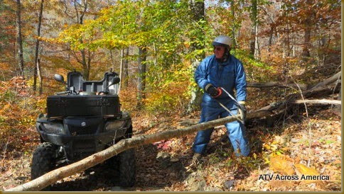
We enjoyed crossing the creeks and the views.  We tried the black-difficult trails, and had to turn around twice, on the trail #86 had a bad wash out right at a shelf.  The other trail #83 had a steep hill with a severe wash out in it.  We did come down #87, and had to come down a 2ft shelf, we held down the back end of the ATV, so it didn't tip up.

IMG_3492 IMG_3494
IMG_3529 IMG_3516


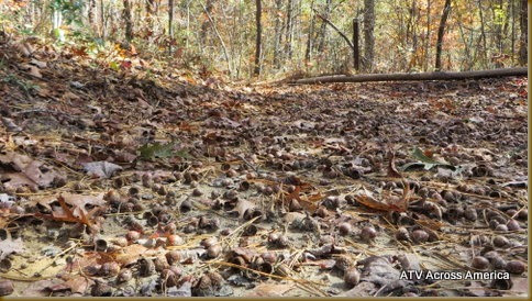
  We enjoyed the trail in the creek, trail #86.  The blue trails are fun, not easy, but enjoyable. We didn't meet anyother riders, but it was Thursday. We came to one intersection and the ground was littered with acorns!  It was a great day of riding, sunshine, fall foliage, and one deer.
IMG_3511 IMG_3509
IMG_3513 IMG_3525

LOCATION>   NEAREST CITY= Garrett, Ky  DIRECTIONS=Turn on  county rd. 1098, 2 mi/ Turn L on Elk View drive/ go 1/4 mi, turn L on Sutton Memorial / Drive in campground on L.
AREA >   TYPE OF LAND= forest, mountain  , OWNER=Private  QUALITY >  Pro- Marked trails, variety of terrain, campground at trail head (No cabins) / Con /  Length of stay1-2 days / Rating-3 out of 5 stars
TERRAIN>  MILES OF TRAILS-70 miles of  hills /  forest / mud / dust / water crossing /elevation         TRAIL MAINTENCE –yes  /   NEAR BY TRAILS- Daniel Boone ATV Trails, Hyden, Ky
REGULATIONS> Permit required-No / Camping-Mine Made Paradise Adventure Park /whip-No / helmets req.-no / width req.-No
FEE> Camping  $30/ Entry-No
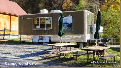
KEY SERVICES> Camping / Gasoline / Diesel / First Aid /  Water /  Dump / Food=
GPS POINTS>
SIDE TRIPS>
CONTACTS>304-784-1981 or 859-609-1288
October 26, 2014

Pinnacle Creek Trail, Hatfield and McCoy, Ashland & North fork, WV

We rode 58 miles –Out of this campground we rode Pinnacle Creek, Indian Ridge and Pocahontas

 http://trailsheaven.com/Plan-Your-TRIP/Choose-a-Trail/Pinnacle-Creek.aspx                                                                                                                      

Easiest (Green):  33%
More Difficult (Blue):  41%
Most Difficult (Black):  8%

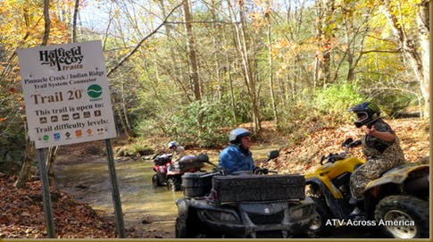
      Today, Sunday, most of the campers left the Ashland resort to head home. It was pretty quiet. Throughout the whole day we only saw 12 riders.  We took the shortcut toward town, on County Road 17, 7 miles and turned on trail #20,  This is the Pinnacle Creek Connector. (You may ride the Indian Ridge trail to this Trail head, but this way cuts off an hour)
  

IMG_3393 IMG_3389
IMG_3384 IMG_3395
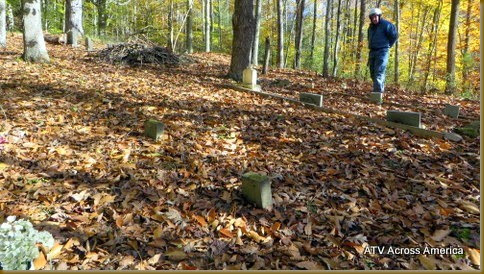
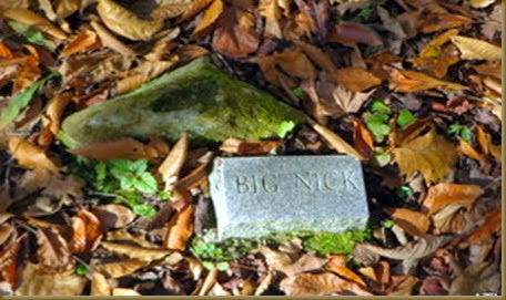
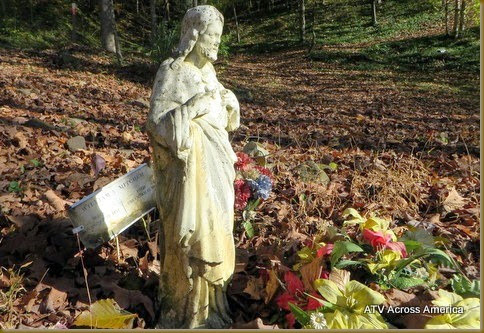
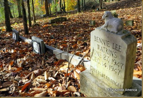
This is the rockiest trail we've rode on out of the three trails in this area, less mud, climbing trails and quite diverse.  After the first few miles, we came to a corner, "No Trails" sign, and there was an older cemetery, but a recent burial as of March 2014.   Cemetery GPS#  37*31,206N  081*26,487W
  
IMG_3431 IMG_3433
IMG_3429 IMG_3432
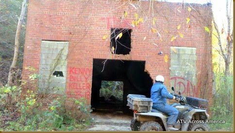
We came across an abandoned block cinder building, in the middle of nowhere, we haven't done research on what this was used for
 
IMG_3436 IMG_3437
IMG_3441 IMG_3466
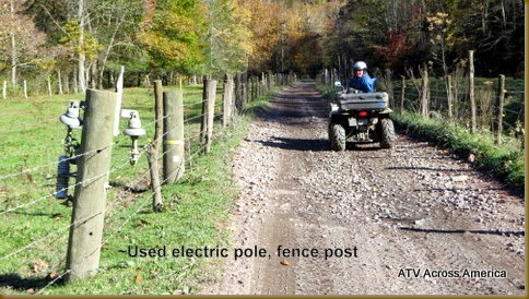
We drove through a pasture, fenced on both sides, there were some interesting fence post!
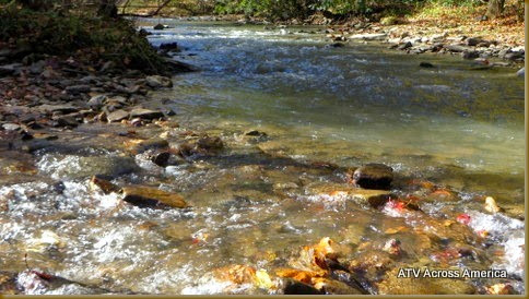
We drove along Pinnacle Creed for 6 miles, it is 20 ft across, one spot there was a beaver dam across the creek, on trail #10. We even saw two grouse along the creek. We had lunch at the confluence of Pinnacle and another creek, trail #26 and #20. This area is white sandstone and higher ground which made it rockier and less muddy.
IMG_3442 IMG_3439
IMG_3451 IMG_3450
  We came across the "Eight Hole", a long, 2 1/2 ft deep hole, hard bottom, in the trail, We were in 4 wheel drive and had out feet on the seat. Many of the RZR's had the water come in on the floorboard.
 
IMG_3445 IMG_3449
IMG_3456 IMG_3463
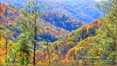
We rode around a beautiful bluff on trail #25, it was so pretty with the foliage and light colored sandstone. The valleys were outstanding! We did come across some unusual animals in the forest.

IMG_3462 IMG_3459
IMG_3464 IMG_3438

October 24, 2014

Pocahontas Trail, Hatfield and McCoy, North fork, WV

35 miles   http://trailsheaven.com/Plan-Your-TRIP/Choose-a-Trail/Pocahontas.aspx

Easy (Green)-22%, Medium (Blue) 47%, Difficult (Black)22%     60 miles total
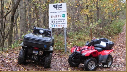
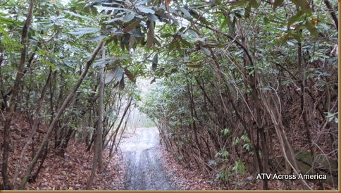
   We rode south out of the Ashland Campground, toward the town of Bramwell, on trail #12-14-15.  We rode most of the trails.  It was quite muddy,rather than dusty, the trails in Green, were more like roads, the Blue trails were more like trails, we didn't try the black.  The landscape has some sandstone ledges, many trees and vines and some magnolia trees.  The area has been logged off. 
 

IMG_3289 IMG_3269
IMG_3277 IMG_3280

One of the blue trails took us right thru a vein of coal, there’s good size chuncks of coal, Pretty. 

IMG_3294 IMG_3296
IMG_3298 IMG_3288
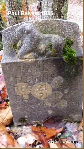
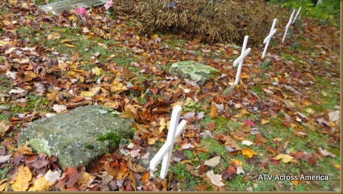
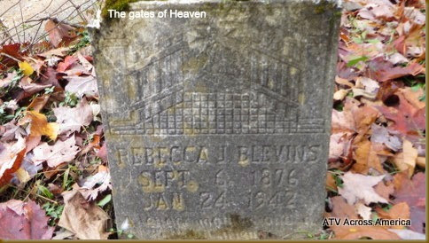
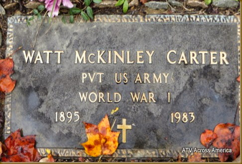
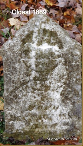
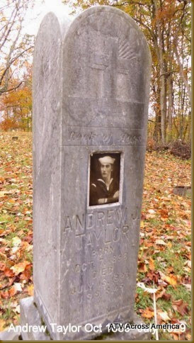
We came across the Belcher Cemetery. GPS#37*21.987N   081*19.110W     There are some head stones dating from 1889, and the earliest of 2010.  We found out these cemeteries have been family plots for many years. Bottom land is at a premium, so they place the cemetery near the top.
 

IMG_3313 IMG_3316
Names and dates belowIMG_3325 IMG_3330
IMG_3317

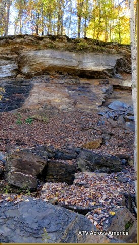
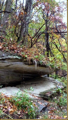
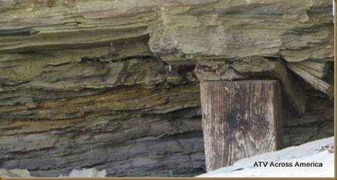
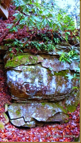
We did find a sandstone outcrop, with trees on top, and the rocks are falling away. Someone has put a foot long board inside, to support the top portion.

Board supportIMG_3283 IMG_3302IMG_3287
IMG_3307 IMG_3304IMG_3301

Belcher dates
Uther Griffith 1905-06
Rebecca Blevins 1876-1946
Ralph Blevins   1925-19??
Grat Taylor Feb 1914- nov 1915
Andrew Tayor Oct 1889-July 1929 Sailor